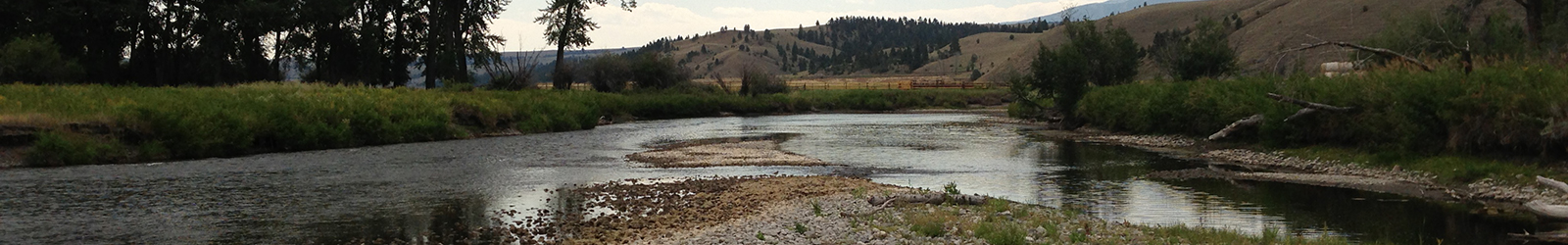
Hydrology
Improve knowledge of UCFR hydrology.
Related NRDP Restoration Plan Limiting Factors:
- Low base stream flow (dewatering due to irrigation)
- Regulated flows at Warm Springs Pond
- Lack of floodplain connectivity
Objective 1
Characterize hydrologic changes longitudinally (upstream to downstream) over the UCFR with focus on Reach A.
Working Hypotheses
Lag in hydrograph from Warm Springs Ponds and dewatering from diversions suppresses natural fluvial processes, with cascading effects on water quality, habitat, riparian ecology and aquatic biology in the Upper CFR.
- Delineate changes in flow longitudinally in Reach A over all seasons, but with particular emphasis on low flow conditions.
- Add to the existing USGS stations by generating rating curves for specific locations in Reach A and utilizing pressure transducers for continuous measures.
- Work with appropriate personnel to measure runoff flows (i.e. spring flood amplitude) to extend rating curves to include runoff conditions.
- Use sequential discharge profiles to identify sites of water loss and gain.
- NRDP: intends to fill data gaps including developing a continuous hydraulic model for Reach A by 2021.
- DEQ: produced a hydrology and geomorphology report for Reach A in 2012.
- UM: intend to fill data gaps by establishing rating curves at 4 locations from WS to DL, better technology required
Objective 2
Characterize critical hydrologic linkages both laterally (via floodplain interaction) and vertically through exchange with the floodplain and alluvial aquifer
Working Hypotheses
Lack of frequent out of bank flooding limits nutrient exchange between the floodplain and channel, limiting diverse nutrient and organic sources to the river and limiting nutrient filtering and water quality processes within off channel wetlands. This reduced hydrologic connection also limits potential for natural regeneration of riparian forests and shrublands.
- Develop hydrologic/hydraulic model linking river, floodplain and aquifer components.
- Network with UCFR research community and Montana University System hydrologist to address the potential of existing or needed hydrologic models to address the appropriate scales and links relevant to UCFR restoration.
- Develop a detailed GIS-based map of extractions, canals, and return flows along Reach A in the UCFR to relate water use to instream flows.
- Address how existing data on water rights maps onto the network and relate water use to changes in local flow conditions.
- NRDP: intends to fill data gaps including developing a continuous hydraulic model for Reach A by 2021.
UCFWG Members working on Hydrology
| Name | Affiliation | |
|---|---|---|
|
Bartkowiak, Brian |
||
|
Leone, Alex |
||
|
Prater, Jacob |
||
|
Valett, Maury |
||
|
Ellison, Chris |
||
|
Griffin, Joe |
||
|
Kyro, Colton |
||
|
Ford, Jim |